Capstone Project
Instructor: Rae St. Clair Bridgman
CITY 7050
City Planning Capstone Project
The Capstone Project allows students to undertake original research on a planning issue of their choosing. The goal of the Project is to conduct in-depth research on an issue of importance for planning practice. As part of the Capstone, students demonstrate the critical thinking, analysis, writing and presentation skills necessary for professional practice.
The Capstone project is an independent piece of professional work that
- addresses a specific problem, issue or concern in the field of planning
- demonstrates an understanding of the planning context and related academic literature
- contains original research, including collection and analysis of data
- integrates feedback and comments from committee members, and
- demonstrates professional-level written, oral and visual communication skills.
Alyssa Bouchard
Carolina Herrera Garza
Pauline Ordonez
Jack Flaminiano
Anuj Kathuria

Steve Nuttall
Matt Gowdar
Katie Lee
Bassel Sleem
Chris Hampson-Curtis
Sarah Manteuffel
Alyssa Bouchard
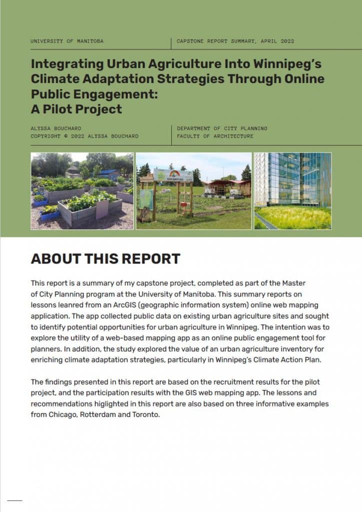
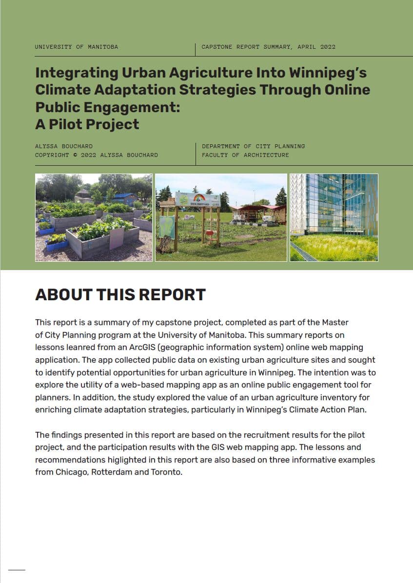
Integrating Urban Agriculture into Winnipeg’s Climate Adaptation Strategies through Online Public Engagement
Advisor: David van Vliet
External: Jeremy Sewell, Data Scientist, City of Winnipeg
This report is a summary of my capstone project, completed as part of the Master of City Planning program at the University of Manitoba. This summary reports on lessons leanred from an ArcGIS (geographic information system) online web mapping application. The app collected public data on existing urban agriculture sites and sought to identify potential opportunities for urban agriculture in Winnipeg. The intention was to explore the utility of a web-based mapping app as an online public engagement tool for planners. In addition, the study explored the value of an urban agriculture inventory for enriching climate adaptation strategies, particularly in Winnipeg’s Climate Action Plan.
The findings presented in this report are based on the recruitment results for the pilot project, and the participation results with the GIS web mapping app. The lessons and recommendations higlighted in this report are also based on three informative examples from Chicago, Rotterdam and Toronto.
Jack Flaminiano
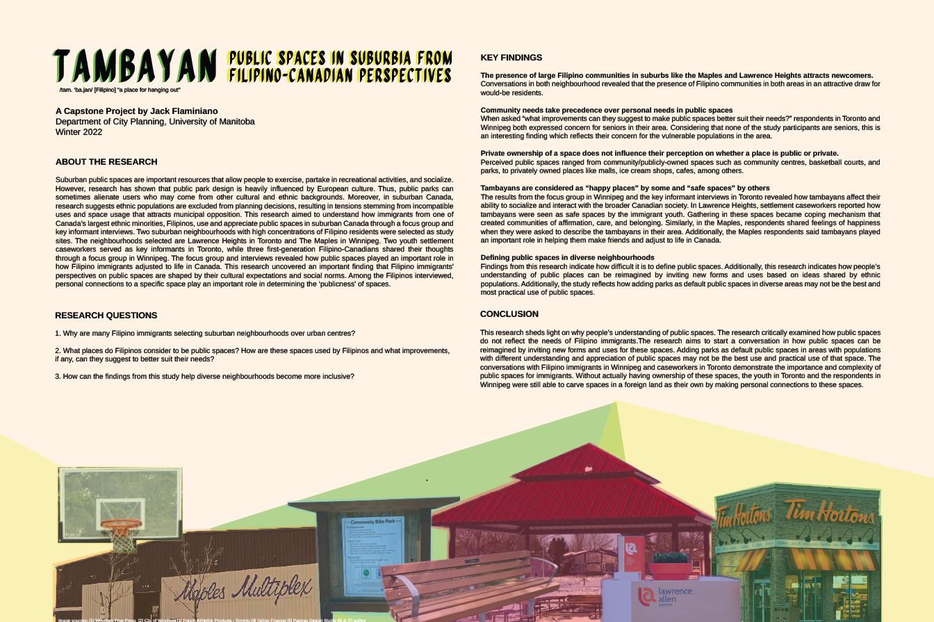
Tambayan [“a place for hanging out”]: Public Spaces in Suburbia from Filipino-Canadian Perspectives
Advisor: Orly Linovski
External: Benjamin Bongolan, Research Lead, Inclusive Cities, Monumental
Suburban public spaces are important resources that allow people to exercise, partake in recreational activities, and socialize. However, research has shown that public park design is heavily influenced by European culture. Thus, public parks can sometimes alienate users who may come from other cultural and ethnic backgrounds. Moreover, in suburban Canada, research suggests ethnic populations are excluded from planning decisions, resulting in tensions stemming from incompatible uses and space usage that attracts municipal opposition. This research aimed to understand how immigrants from one of Canada’s largest ethnic minorities, Filipinos, use and appreciate public spaces in suburban Canada through a focus group and key informant interviews. Two suburban neighbourhoods with high concentrations of Filipino residents were selected as study sites. The neighbourhoods selected are Lawrence Heights in Toronto and The Maples in Winnipeg. Two youth settlement caseworkers served as key informants in Toronto, while three first-generation Filipino-Canadians shared their thoughts through a focus group in Winnipeg. The focus group and interviews revealed how public spaces played an important role in how Filipino immigrants adjusted to life in Canada. This research uncovered an important finding that Filipino immigrants’ perspectives on public spaces are shaped by their cultural expectations and social norms. Among the Filipinos interviewed, personal connections to a specific space play an important role in determining the ‘publicness’ of spaces.
Matt Gowdar
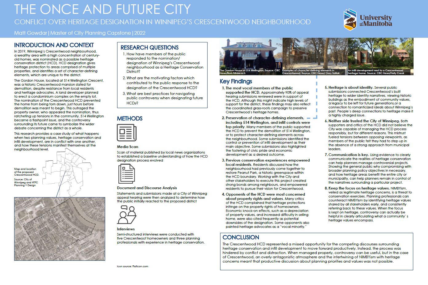
The Once and Future City: Conflict Over Heritage Designation in Winnipeg’s Crescentwood Neighbourhood
Advisor: Sarah Cooper
External: Roland Sawatzky, Curator of History, The Manitoba Museum
In 2019, Winnipeg’s Crescentwood neighbourhood, a wealthy area with a high concentration of centuryold homes, was nominated as a possible heritage conservation district (HCD). HCD designation gives heritage protection to areas comprised of multiple properties, and identifies a set of character-defining elements, which are unique to the district.
The Gordon House, located at 514 Wellington Crescent, was a historic Crescentwood mansion slated for demolition, despite resistance from local residents and heritage advocates. A land developer planned to erect a condominium complex on the empty lot. The nomination of the Crescentwood HCD prevented the home from being torn down, just hours before demolition was meant to begin. This outraged the property owner, who appealed the nomination, thus ratcheting up tensions in the community. 514 Wellington became a flashpoint issue, and the controversy surrounding its future came to symbolize the wider debate concerning the district as a whole.
This research provides a case study of what happens when two planning values, heritage conservation and infill development, are in conflict with one another, and how these tensions manifest themselves at the neighbourhood level.
Chris Hampson-Curtis
The Burning Question: What Wildfire Adaptation Planning Lessons Can British Columbia, Canada Learn From Other Jurisdictions?
Advisor: David van Vliet
External: Hank Venema, CEO & Senior Engineer, Strategic Systems Engineering
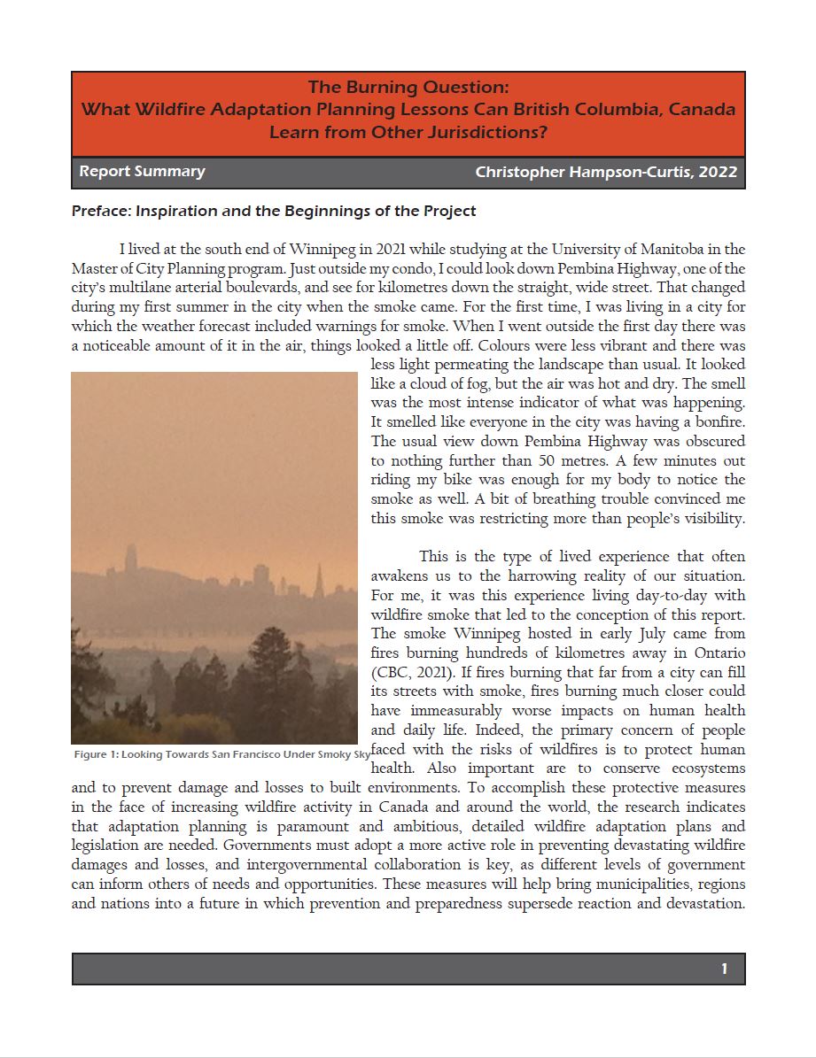
I lived at the south end of Winnipeg in 2021 while studying at the University of Manitoba in the Master of City Planning program. Just outside my condo, I could look down Pembina Highway, one of the city’s multilane arterial boulevards, and see for kilometres down the straight, wide street. That changed during my first summer in the city when the smoke came. For the first time, I was living in a city for which the weather forecast included warnings for smoke. When I went outside the first day there was a noticeable amount of it in the air, things looked a little off. Colours were less vibrant and there was less light permeating the landscape than usual. It looked like a cloud of fog, but the air was hot and dry. The smell was the most intense indicator of what was happening. It smelled like everyone in the city was having a bonfire. The usual view down Pembina Highway was obscured to nothing further than 50 metres. A few minutes out riding my bike was enough for my body to notice the smoke as well. A bit of breathing trouble convinced me this smoke was restricting more than people’s visibility.
This is the type of lived experience that often awakens us to the harrowing reality of our situation. For me, it was this experience living day-to-day with wildfire smoke that led to the conception of this report. The smoke Winnipeg hosted in early July came from fires burning hundreds of kilometres away in Ontario (CBC, 2021). If fires burning that far from a city can fill its streets with smoke, fires burning much closer could have immeasurably worse impacts on human health and daily life. Indeed, the primary concern of people faced with the risks of wildfires is to protect human health. Also important are to conserve ecosystems and to prevent damage and losses to built environments. To accomplish these protective measures in the face of increasing wildfire activity in Canada and around the world, the research indicates that adaptation planning is paramount and ambitious, detailed wildfire adaptation plans and legislation are needed. Governments must adopt a more active role in preventing devastating wildfire damages and losses, and intergovernmental collaboration is key, as different levels of government can inform others of needs and opportunities. These measures will help bring municipalities, regions and nations into a future in which prevention and preparedness supersede reaction and devastation.
Carolina Herrera Garza
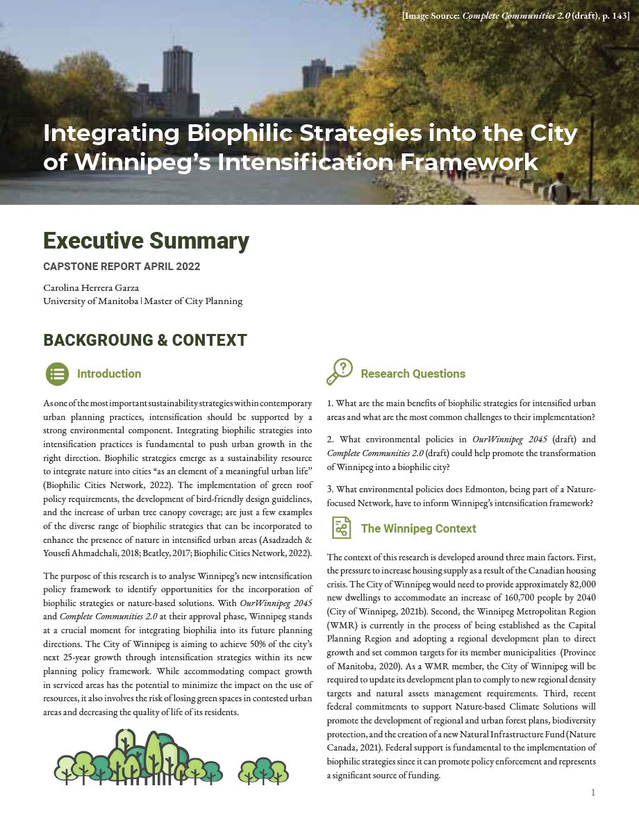
Integrating Biophilic Strategies into Winnipeg’s Intensification Framework
Advisor: David van Vliet
External: Jason Syvixay, Director of Metropolitan Strategy & Advocacy, UDI-Edmonton
As one of the most important sustainability strategies within contemporary urban planning practices, intensification should be supported by a strong environmental component. Integrating biophilic strategies into intensification practices is fundamental to push urban growth in the right direction. Biophilic strategies emerge as a sustainability resource to integrate nature into cities “as an element of a meaningful urban life” (Biophilic Cities Network, 2022). The implementation of green roof policy requirements, the development of bird-friendly design guidelines, and the increase of urban tree canopy coverage; are just a few examples of the diverse range of biophilic strategies that can be incorporated to enhance the presence of nature in intensified urban areas (Asadzadeh & Yousefi Ahmadchali, 2018; Beatley, 2017; Biophilic Cities Network, 2022).
The purpose of this research is to analyse Winnipeg’s new intensification policy framework to identify opportunities for the incorporation of biophilic strategies or nature-based solutions. With OurWinnipeg 2045 and Complete Communities 2.0 at their approval phase, Winnipeg stands at a crucial moment for integrating biophilia into its future planning directions. The City of Winnipeg is aiming to achieve 50% of the city’s next 25-year growth through intensification strategies within its new planning policy framework. While accommodating compact growth in serviced areas has the potential to minimize the impact on the use of resources, it also involves the risk of losing green spaces in contested urban areas and decreasing the quality of life of its residents.
Anuj Kathuria
A Pondful of Possibilities … Reimagining Winnipeg’s Residential Stormwater Retention Ponds as Urban Agricultural Assets
Advisor: Rae St. Clair Bridgman
External: Jason Syvixay, Director of Metropolitan Strategy & Advocacy, UDI-Edmonton
Research has demonstrated that North American cities have great potential for integrating urban agriculture into under-utilized open spaces, for example, along transport and infrastructural components, under utility corridors, and in vacant lots (Baker et al., 2009). This study argues that suburban Winnipeg’s residential stormwater retention ponds are also capable of accommodating urban agricultural activities. Many potential uses of these retention ponds can be identified, for example, for active transportation, recreation, winter activities, and being biodiversity assets. However, growing and harvesting plants for biofuel, fodder, and food, while following low impact, chemical-free, and environmentally safe techniques, can improve the water quality of retained stormwater.
Katie Lee
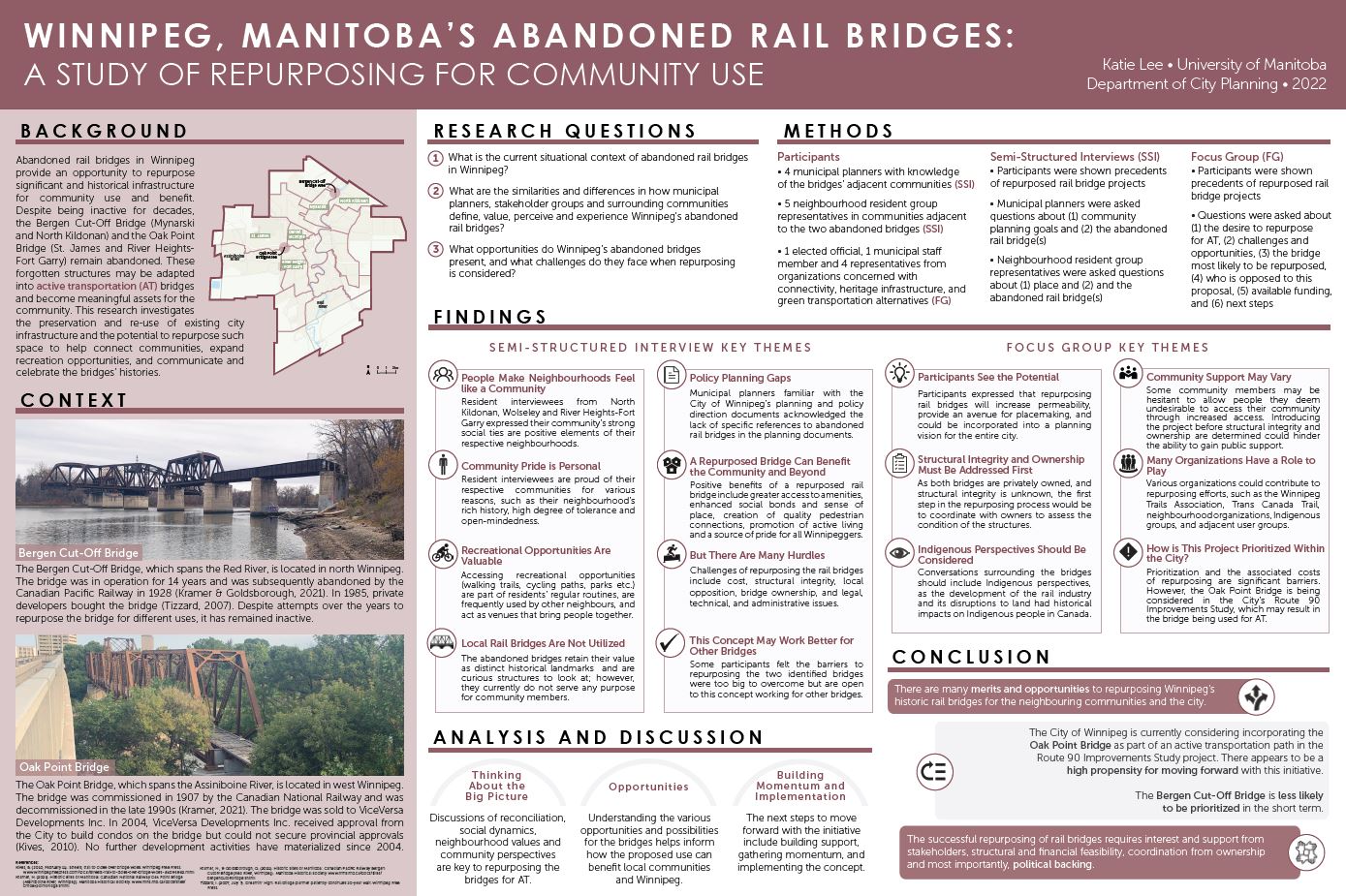
Winnipeg, Manitoba’s Abandoned Rail Bridges: A Study of Repurposing for Community Use
Advisor: Richard Milgrom
External: Diana Emerson, Senior Project Manager – Transportation Planning, WSP
Abandoned rail bridges in Winnipeg provide an opportunity to repurpose significant and historical infrastructure for community use and benefit. Despite being inactive for decades, the Bergen Cut-Off Bridge (Mynarski and North Kildonan) and the Oak Point Bridge (St. James and River Heights- Fort Garry) remain abandoned. These forgotten structures may be adapted into active transportation (AT) bridges and become meaningful assets for the community. This research investigates the preservation and reuse of existing city infrastructure and the potential to repurpose such space to help connect communities, expand recreation opportunities, and communicate and celebrate the bridges’ histories.
Sarah Manteuffel
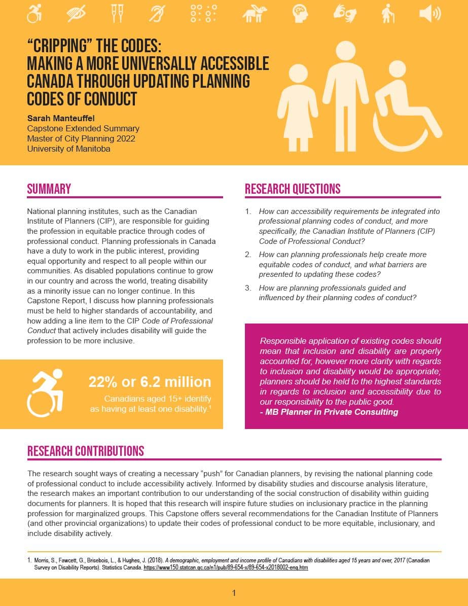
“Cripping” the Codes: Making a More Universally Accessible Canada through Updating Planning Codes of Conduct
Advisor: Rae St. Clair Bridgman
External: Susanne Dewey Povoledo, Universal Design Coordinator, City of Winnipeg
National planning institutes, such as the Canadian Institute of Planners (CIP), are responsible for guiding the profession in equitable practice through codes of professional conduct. Planning professionals in Canada have a duty to work in the public interest, providing equal opportunity and respect to all people within our communities. As disabled populations continue to grow in our country and across the world, treating disability as a minority issue can no longer continue. In this Capstone Report, I discuss how planning professionals must be held to higher standards of accountability, and how adding a line item to the CIP Code of Professional Conduct that actively includes disability will guide the profession to be more inclusive.
Steve Nuttall
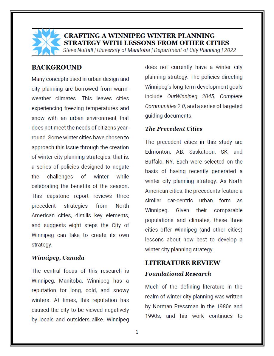
Crafting a Winnipeg Winter Planning Strategy with Lessons from Other Cities
Advisor: Richard Milgrom
External: Simon O’Byrne, Senior Vice President, Community Development, Stantec Inc.
Many concepts used in urban design and city planning are borrowed from warm-weather climates. This leaves cities experiencing freezing temperatures and snow with an urban environment that does not meet the needs of citizens year-round. Some winter cities have chosen to approach this issue through the creation of winter city planning strategies, that is, a series of policies designed to negate the challenges of winter while celebrating the benefits of the season. This capstone report reviews three precedent strategies from North American cities, distills key elements, and suggests eight steps the City of Winnipeg can take to create its own strategy.
Pauline Ordonez
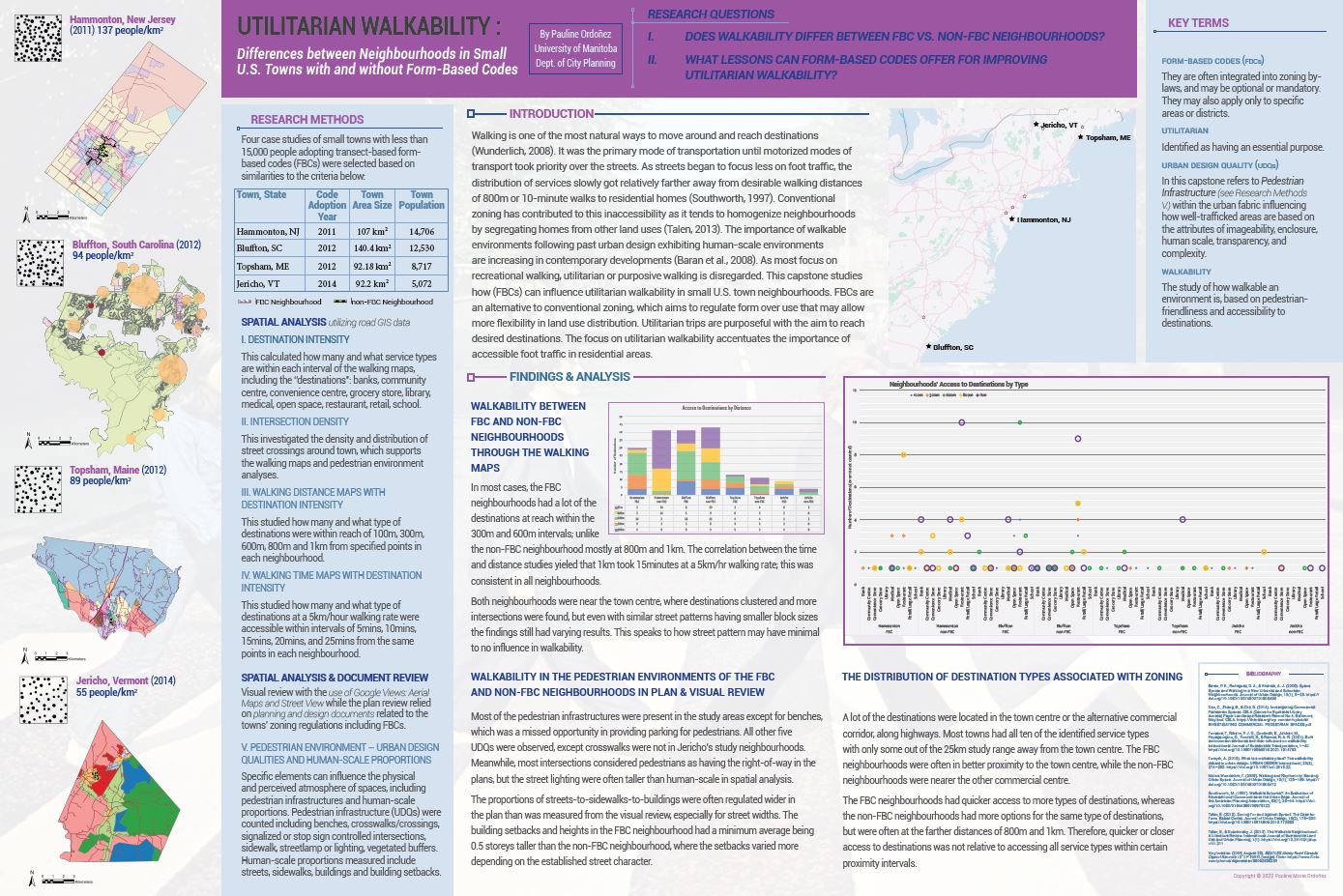
Utilitarian Walkability: Differences between Neighbourhoods in Small U.S. Towns with and without Form-Based Codes
Advisor: Orly Linovski
External: Hazel Borys, Principal and Managing Director, PlaceMakers
Walking is one of the most natural ways to move around and reach destinations (Wunderlich, 2008). It was the primary mode of transportation until motorized modes of transport took priority over the streets. As streets began to focus less on foot traffic, the distribution of services slowly got relatively farther away from desirable walking distances of 800m or 10-minute walks to residential homes (Southworth, 1997). Conventional zoning has contributed to this inaccessibility as it tends to homogenize neighbourhoods by segregating homes from other land uses (Talen, 2013). The importance of walkable environments following past urban design exhibiting human-scale environments are increasing in contemporary developments (Baran et al., 2008). As most focus on recreational walking, utilitarian or purposive walking is disregarded. This capstone studies how (FBCs) can influence utilitarian walkability in small U.S. town neighbourhoods. FBCs are an alternative to conventional zoning, which aims to regulate form over use that may allow more flexibility in land use distribution. Utilitarian trips are purposeful with the aim to reach desired destinations. The focus on utilitarian walkability accentuates the importance of accessible foot traffic in residential areas.
Bassel Sleem
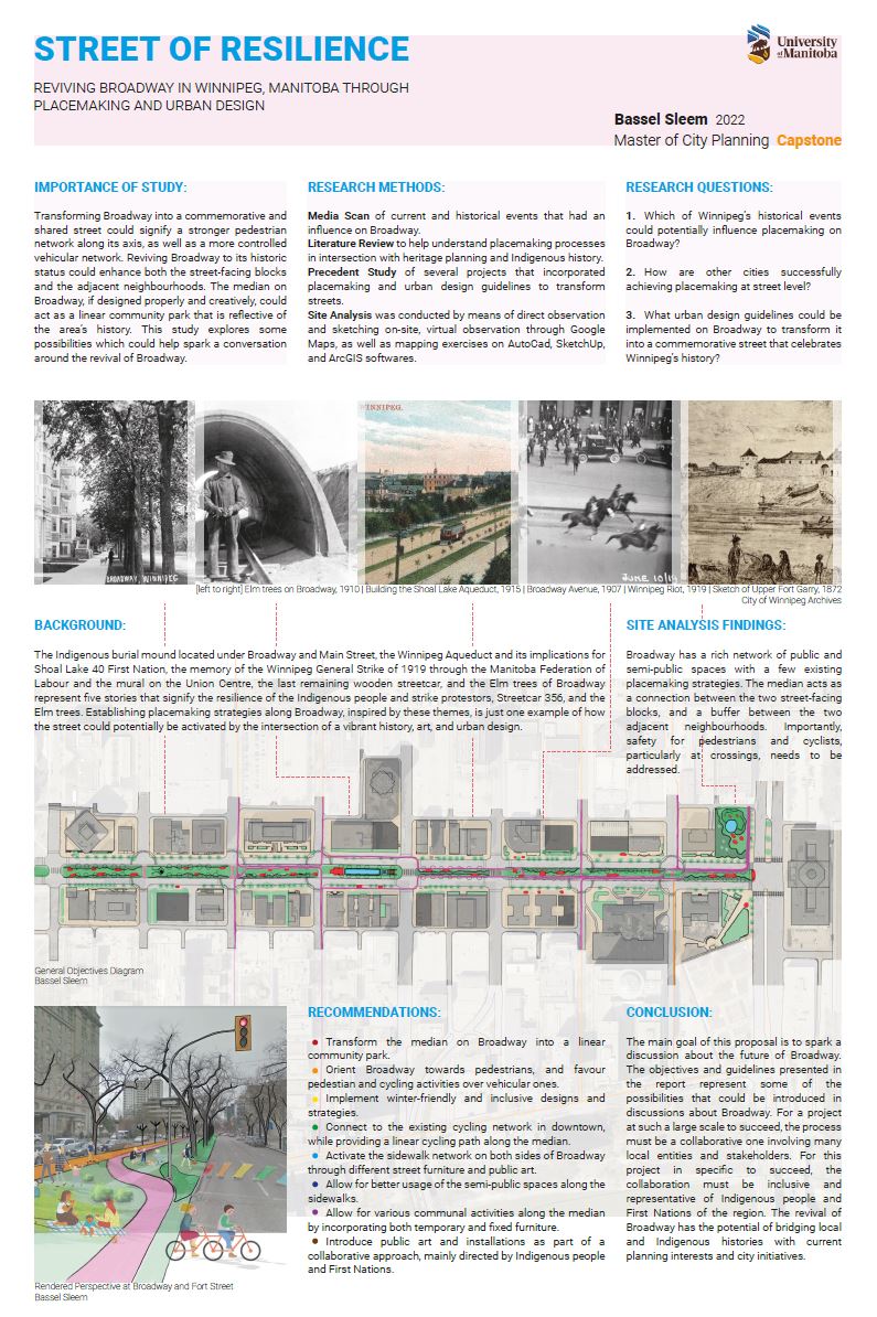
Street of Resilience: Reviving Broadway in Winnipeg, Manitoba through Placemaking and Urban Design
Advisor: Richard Milgrom
External: Cindy Tugwell, Executive Director, Heritage Winnipeg
Walking is one of the most natural ways to move around and reach destinations (Wunderlich, 2008). It was the primary mode of transportation until motorized modes of transport took priority over the streets. As streets began to focus less on foot traffic, the distribution of services slowly got relatively farther away from desirable walking distances of 800m or 10-minute walks to residential homes (Southworth, 1997). Conventional zoning has contributed to this inaccessibility as it tends to homogenize neighbourhoods by segregating homes from other land uses (Talen, 2013). The importance of walkable environments following past urban design exhibiting human-scale environments are increasing in contemporary developments (Baran et al., 2008). As most focus on recreational walking, utilitarian or purposive walking is disregarded. This capstone studies how (FBCs) can influence utilitarian walkability in small U.S. town neighbourhoods. FBCs are an alternative to conventional zoning, which aims to regulate form over use that may allow more flexibility in land use distribution. Utilitarian trips are purposeful with the aim to reach desired destinations. The focus on utilitarian walkability accentuates the importance of accessible foot traffic in residential areas.